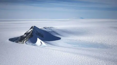
A new map has unmasked the landscape beneath Antarctica's ice in unprecedented detail, something scientists say could greatly enhance our understanding of the frozen white continent.
Researchers used satellite data and the physics of how Antarctica's glaciers move to work out what the continent might look like beneath the ice.
They found evidence of thousands of previously undiscovered hills and ridges, and say their maps of some of Antarctica's hidden mountain ranges are clearer than ever before.
While the maps are subject to uncertainties, the researchers believe the new details could shed light on how Antarctica will respond to climate change - and what that means for sea-level rise.
It's like before you had a grainy pixel film camera, and now you've got a properly zoomed-in digital image of what's really going on, said lead author Dr. Helen Ockenden, a researcher at the University of Grenoble-Alpes.
These findings may help improve understanding and predictions of how quickly ice melt might occur due to climate change, a vital aspect of climate science regarding future sea level rise.