WASHINGTON (AP) — Warm Arctic waters and cold continental land are combining to stretch the dreaded polar vortex, paving the way for a devastating dose of winter across the United States later this week. In a scenario reminiscent of major hurricanes, this weather event threatens to deliver painful subzero temperatures, heavy snow, and ice capable of toppling power lines.
Meteorologists are sounding the alarm regarding a winter storm that could affect at least 250 million people across the eastern two-thirds of the country. According to Ryan Maue, former chief scientist at NOAA, the severity of the upcoming weather may be underestimated by many.
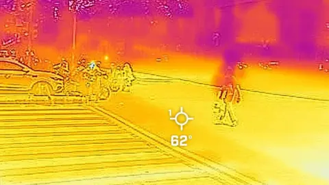
The polar vortex, a patch of bitter cold air traditionally confined to northern Canada and Alaska, is being stretched by a wave in the upper atmosphere, correlating with a warming Arctic and colder conditions in Siberia. As the frigid air sweeps through the U.S., it combines with moisture from the Pacific and the Gulf of Mexico, increasing the possibility of crippling snow and ice storms.
The origins of this harsh weather pattern lie in a significant climate change-induced warming of the Arctic, exacerbating cold air movements southward. Judah Cohen, an MIT research scientist, highlights that conditions like these have been building since late 2025, with substantial snowfall in Siberia contributing to the stretched polar vortex, leading to extreme winter incidents in recent years.
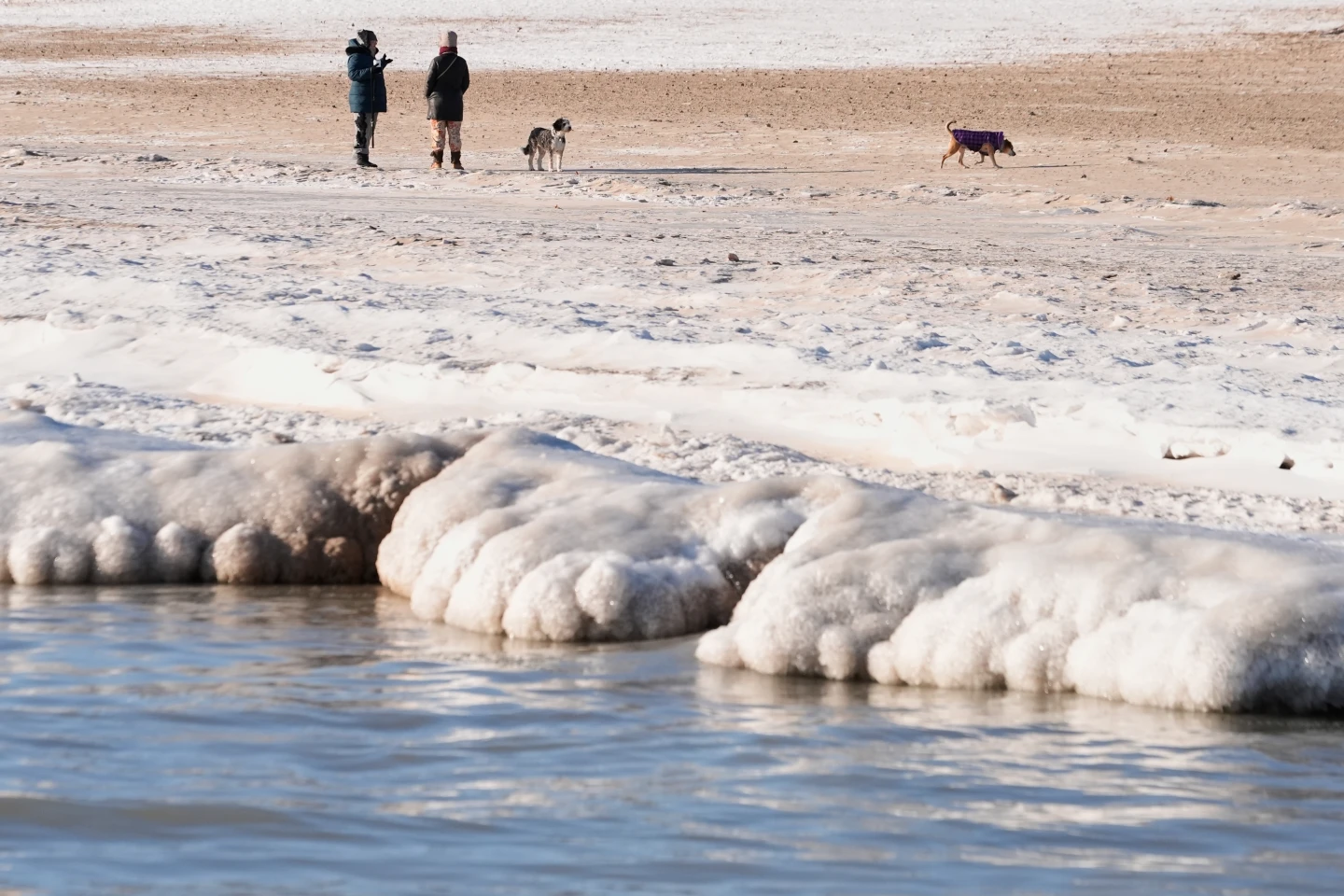
Forecasts predict that the center of the polar vortex will hover above Duluth, Minnesota, by Friday, leading to temperatures plunging as low as minus 30 degrees Fahrenheit in the North and Midwest. The average lows across the Lower 48 are expected to remain around 11 or 12 degrees. Experts also predict the potential for ice accumulation could cause widespread power outages and significant tree damage.
Areas over the southern plains all the way through to the Carolinas could face treacherous freezing rain, while those beyond the Rockies are warned to prepare for heavy snow and possible blizzard conditions in the coming days.
Meteorologists are sounding the alarm regarding a winter storm that could affect at least 250 million people across the eastern two-thirds of the country. According to Ryan Maue, former chief scientist at NOAA, the severity of the upcoming weather may be underestimated by many.
The polar vortex, a patch of bitter cold air traditionally confined to northern Canada and Alaska, is being stretched by a wave in the upper atmosphere, correlating with a warming Arctic and colder conditions in Siberia. As the frigid air sweeps through the U.S., it combines with moisture from the Pacific and the Gulf of Mexico, increasing the possibility of crippling snow and ice storms.
The origins of this harsh weather pattern lie in a significant climate change-induced warming of the Arctic, exacerbating cold air movements southward. Judah Cohen, an MIT research scientist, highlights that conditions like these have been building since late 2025, with substantial snowfall in Siberia contributing to the stretched polar vortex, leading to extreme winter incidents in recent years.
Forecasts predict that the center of the polar vortex will hover above Duluth, Minnesota, by Friday, leading to temperatures plunging as low as minus 30 degrees Fahrenheit in the North and Midwest. The average lows across the Lower 48 are expected to remain around 11 or 12 degrees. Experts also predict the potential for ice accumulation could cause widespread power outages and significant tree damage.
Areas over the southern plains all the way through to the Carolinas could face treacherous freezing rain, while those beyond the Rockies are warned to prepare for heavy snow and possible blizzard conditions in the coming days.