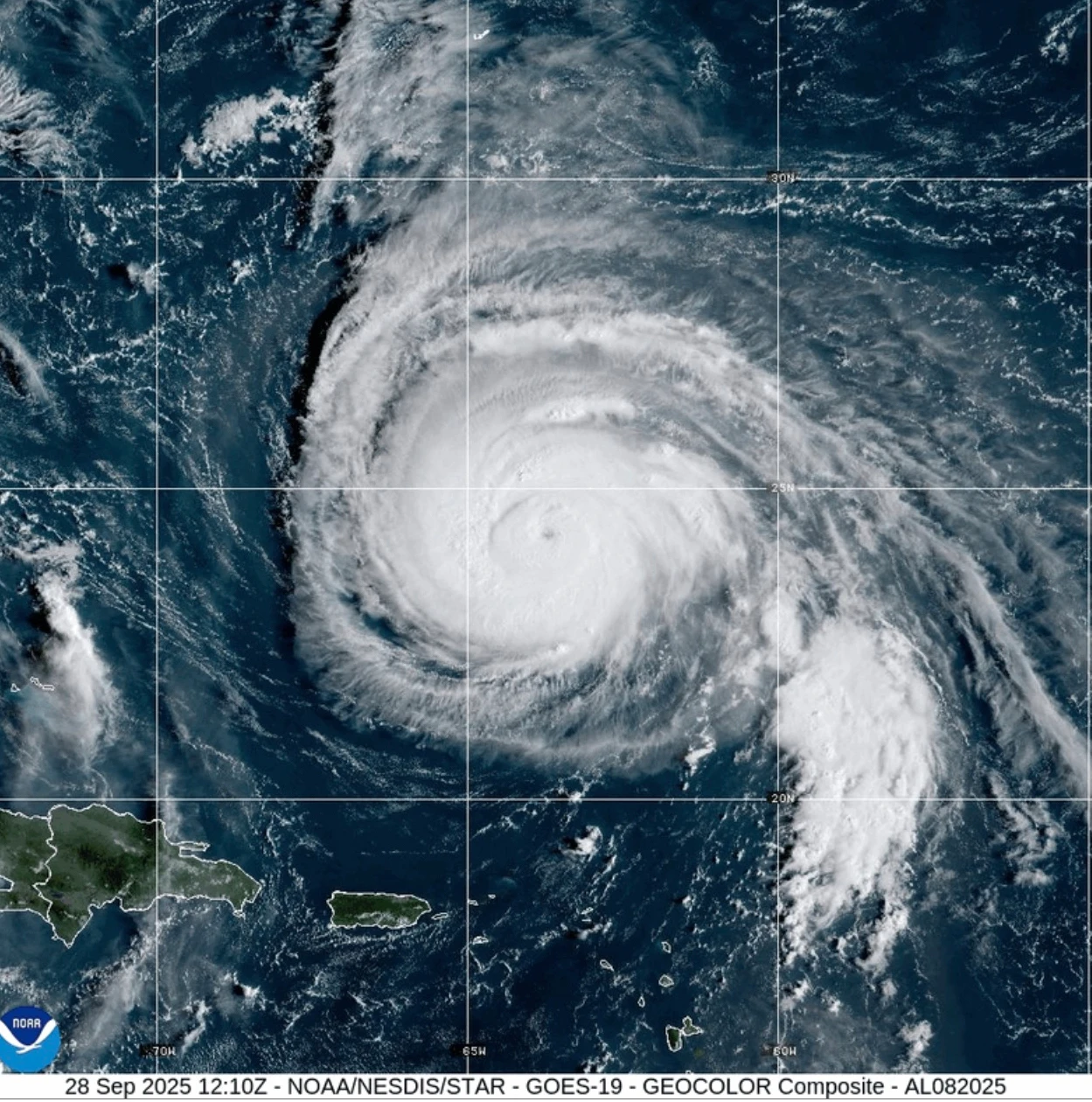
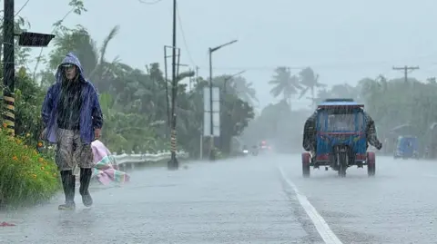
Hurricane Erin has escalated to a Category 4 storm, posing significant threats of treacherous surf and rip currents along the eastern coastline of the United States. The first hurricane of the 2025 Atlantic season is already unleashing heavy rains on the southeastern Bahamas, while a tropical storm warning is active for the Turks and Caicos Islands. Although Erin is not predicted to make direct landfall on the islands, it is expected to bring rainfall accumulation of up to six inches (15.2 cm) to these regions.
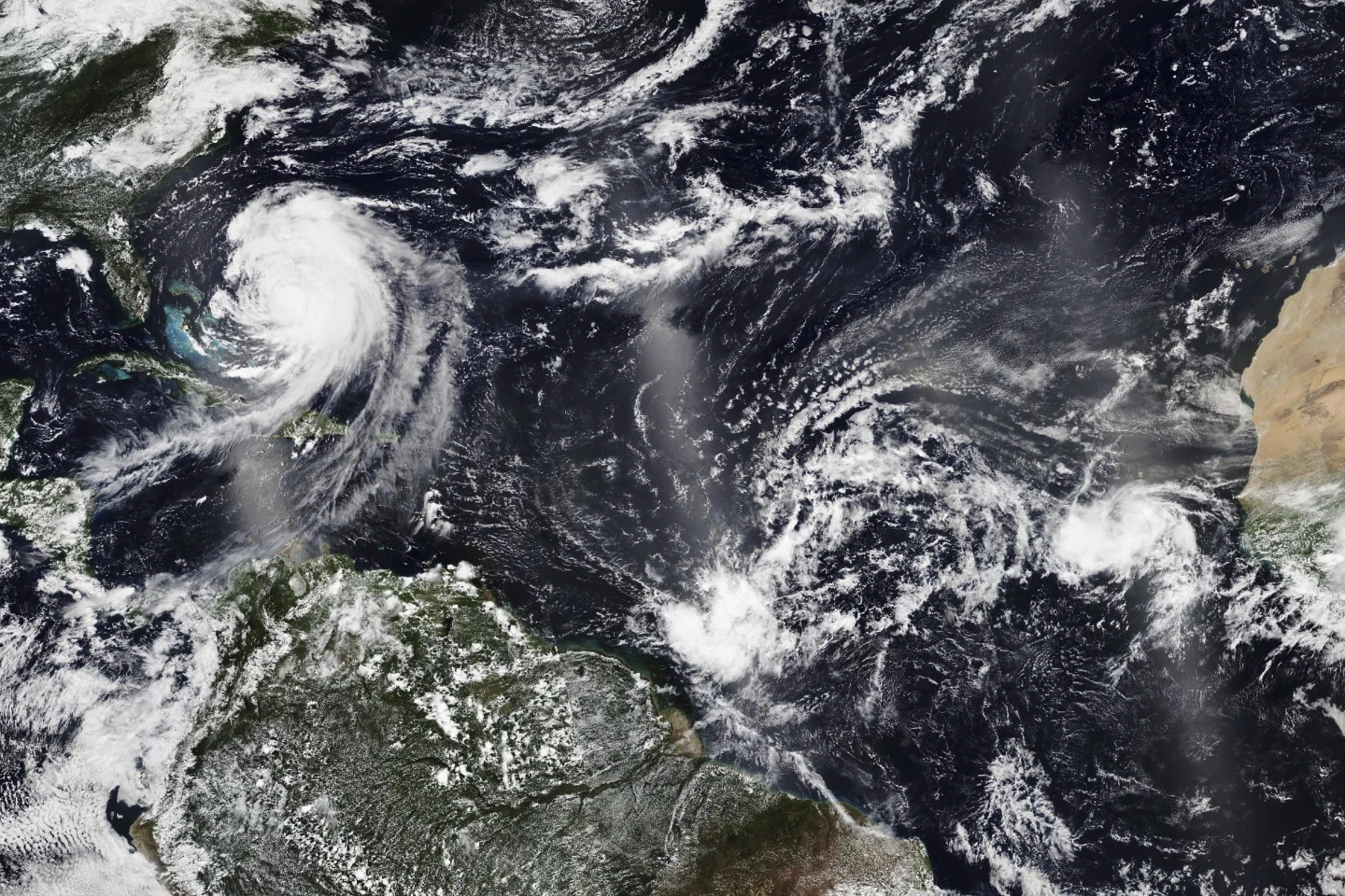
Initially peaking as a Category 5 hurricane, Erin briefly lost some of its intensity but has since regained strength. In Puerto Rico, high winds caused by the storm left over 150,000 residents without power; however, local energy company Luma reported that 95% of its customers had restored electricity by Sunday evening. The hurricane's outer bands are now impacting the Bahamas, prompting the nation’s Disaster Risk Management Authority to advise residents to prepare for potential evacuations. Aarone Sargent, the managing director, urged Bahamians to identify their nearest shelters and be aware of alternative options.
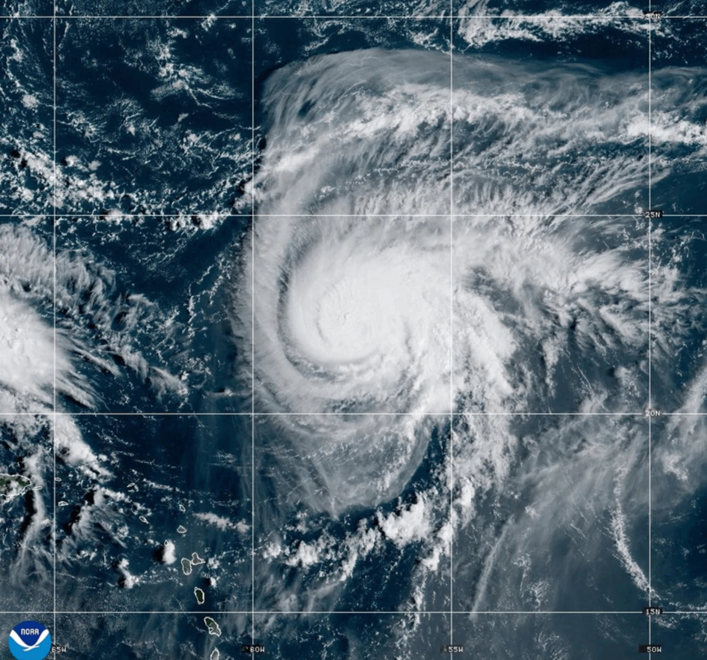
While the core of Erin is forecasted to pass east of the southeastern Bahamas, it is expected to move between Bermuda and the eastern U.S. coast during the week. The National Hurricane Center (NHC) describes Erin as a "large and dangerous hurricane," with the Outer Banks of North Carolina taking precautionary measures against heavy surf and high winds. Mandatory evacuations have been ordered for Hatteras Island, as authorities caution that the main highway connecting Hatteras to other islands may soon become impassable. Additionally, dangerous rip tides could impact the entire U.S. East Coast as the storm progresses.
Initially peaking as a Category 5 hurricane, Erin briefly lost some of its intensity but has since regained strength. In Puerto Rico, high winds caused by the storm left over 150,000 residents without power; however, local energy company Luma reported that 95% of its customers had restored electricity by Sunday evening. The hurricane's outer bands are now impacting the Bahamas, prompting the nation’s Disaster Risk Management Authority to advise residents to prepare for potential evacuations. Aarone Sargent, the managing director, urged Bahamians to identify their nearest shelters and be aware of alternative options.
While the core of Erin is forecasted to pass east of the southeastern Bahamas, it is expected to move between Bermuda and the eastern U.S. coast during the week. The National Hurricane Center (NHC) describes Erin as a "large and dangerous hurricane," with the Outer Banks of North Carolina taking precautionary measures against heavy surf and high winds. Mandatory evacuations have been ordered for Hatteras Island, as authorities caution that the main highway connecting Hatteras to other islands may soon become impassable. Additionally, dangerous rip tides could impact the entire U.S. East Coast as the storm progresses.