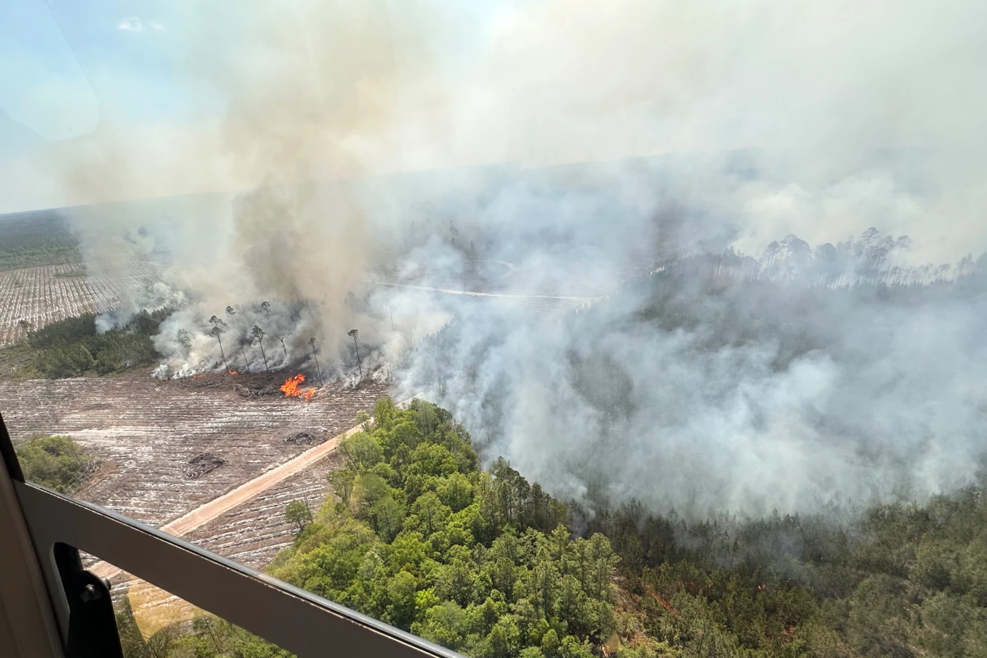
Satellite images have revealed the scale of two wildfires spreading in southern California. The Sandy Fire ignited on Monday morning in the city of Simi Valley, north-west of Los Angeles, according to California Governor Gavin Newsom.
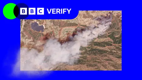
Satellite images taken just after noon local time show a large plume of smoke rising into the air just south of the city. California fire officials reported on Tuesday morning that 750 firefighters were being supported by night-flying water dropping helicopters to target hotspots.
Reports indicate that the fire was sparked when an individual hit a rock with a tractor. As of now, the fire has spread across 1,364 acres (550 hectares), and no part of it has been contained. Data from NASA's wildfire monitoring platform shows active hotspots moving further south.
In total, over 10,000 homes have been evacuated from Simi Valley and surrounding communities. An additional 3,500 homes are under evacuation warnings extending into neighboring Los Angeles County. Despite the alarm, Los Angeles mayor Karen Bass has stated they do not expect the blaze to spread to the city, but officials are proceeding with caution.
The wildfires are being fueled by high winds, although conditions eased later in the day. Classes at the Simi Valley Unified School District have been canceled as a precaution.
In a related incident, another fire on Santa Rosa Island has burned 14,600 acres (6,000 hectares) of the Channel Islands National Park, with over 70 firefighters and park rangers currently engaged in combating it.