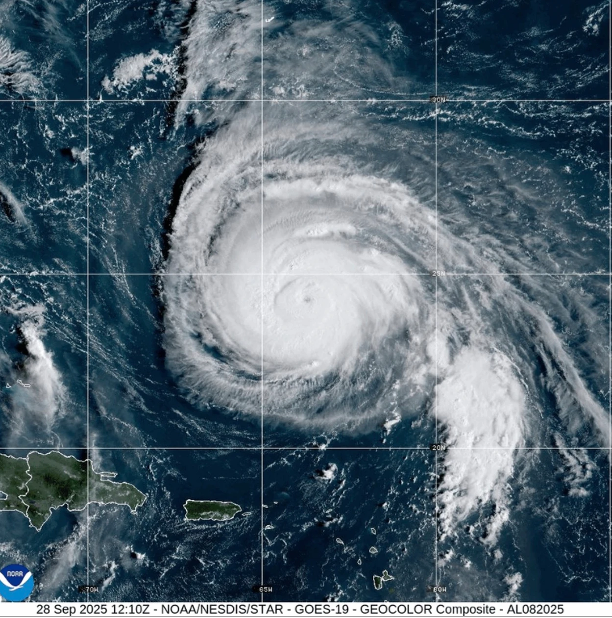
MIAMI (AP) — Hurricane Humberto has formed in the Atlantic Ocean, but it does not pose an immediate threat to land as Hurricane Gabrielle passed over the Azores on Friday, according to forecasters.
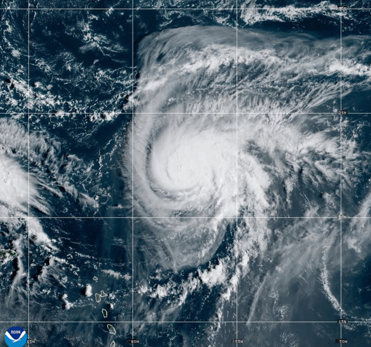
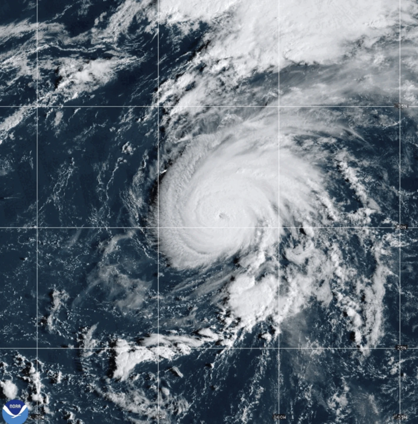
Humberto is currently about 465 miles (750 kilometers) northeast of the northern Leeward Islands and is slowly moving toward the northwest. It is expected to significantly strengthen over the weekend, potentially becoming a major hurricane, as indicated by the U.S. National Hurricane Center based in Miami.
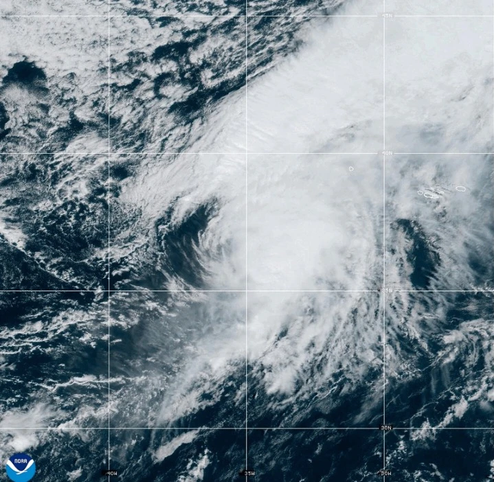
Meanwhile, Gabrielle has transitioned into a post-tropical cyclone located near the Azores, where a hurricane watch is in effect for the entire Portuguese archipelago. This storm was positioned around 145 miles (230 kilometers) east-northeast of Faial Island as of Friday morning.
The maximum sustained winds for Gabrielle are near 65 mph (100 kph), with higher gusts reported. Though the storm is expected to commence gradual weakening on Saturday, tropical storm force winds are extending outwards for up to 160 miles (260 kilometers). An observatory reported sustained winds of 78 mph (126 kph), categorizing it at hurricane levels.
The hurricane center has reclassified Gabrielle as a post-tropical system, indicating it lacks typical tropical characteristics. However, the potential for severe weather impacts remains as the system progresses.
Gabrielle is moving east-northeast at 29 mph (46 kph) and is projected to move away from the Azores towards mainland Portugal by Sunday.
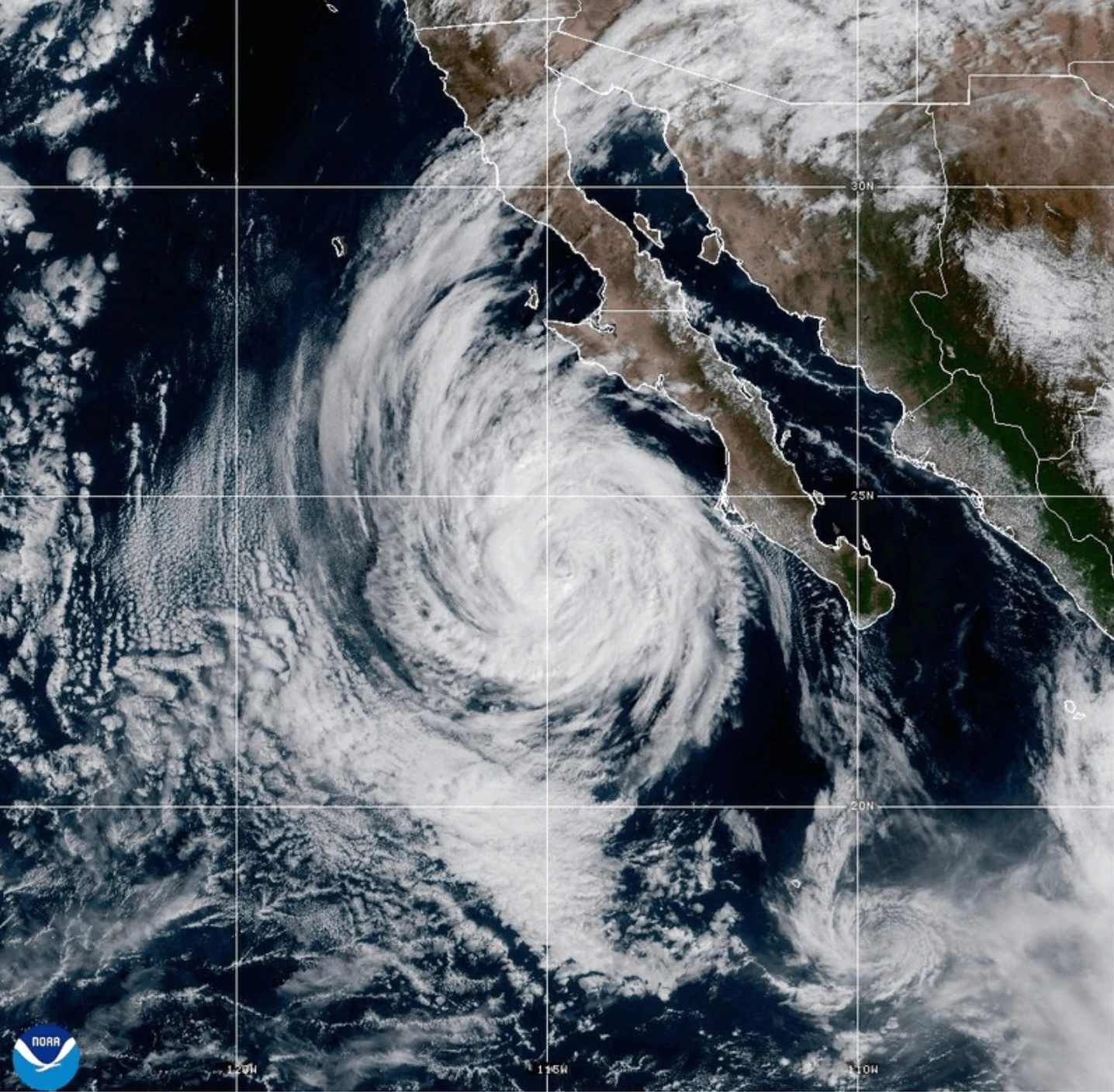
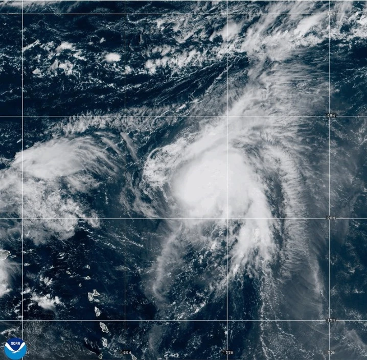
In the Pacific Ocean, Hurricane Narda is churning as a Category 1 storm but holds the potential to regain strength to Category 2. However, it poses no threat to land and is expected to lose strength in the coming days.