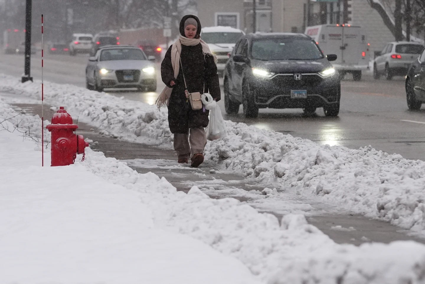
A powerful winter storm is sweeping east from the Plains, driven by meteorologists describing an intense cyclone, resulting in a cascade of snow, ice, rain, and severe weather expected to impact much of the country.
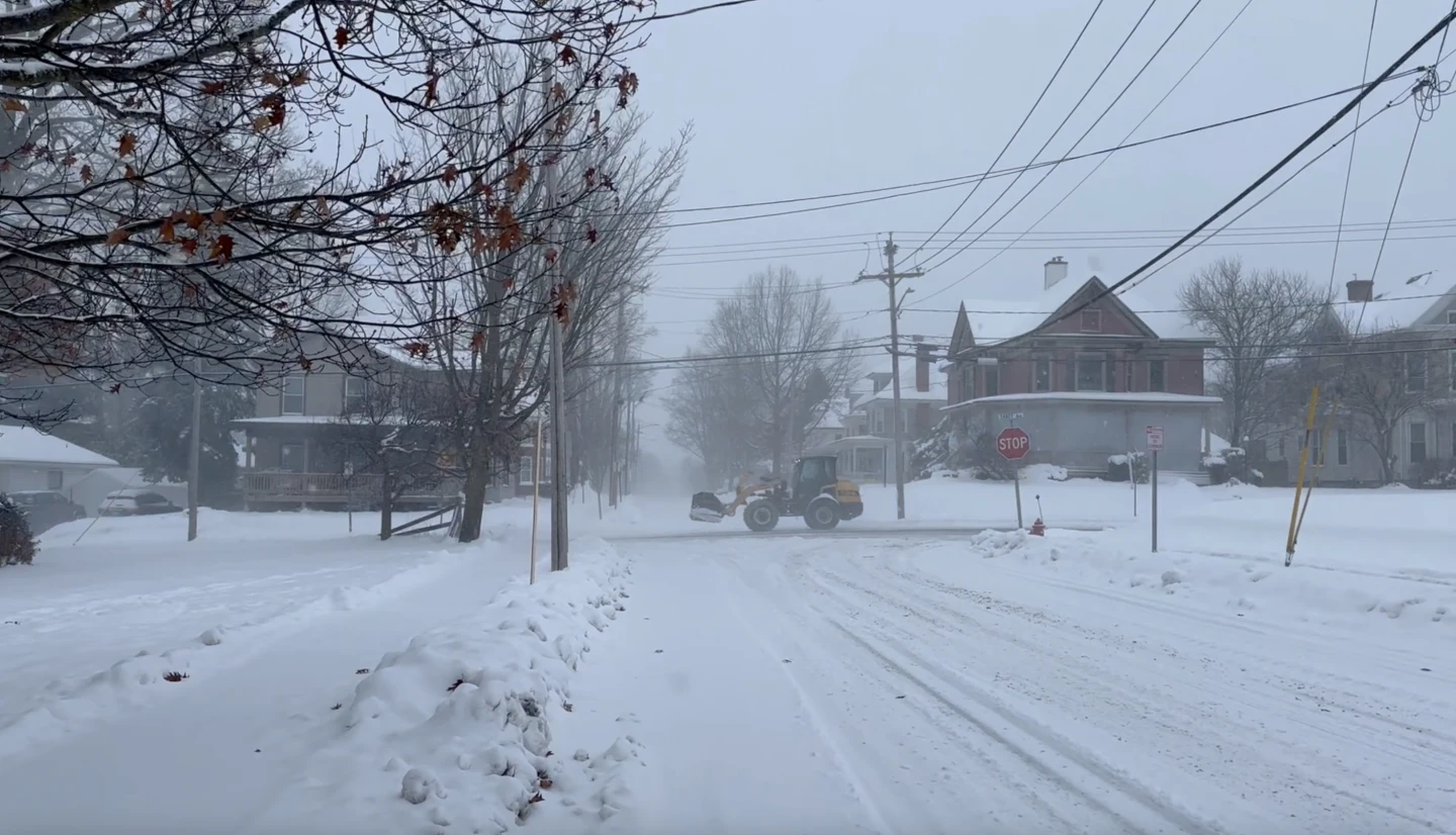
Snow and winds are spreading across the Upper Midwest, where the National Weather Service has warned of whiteout conditions, possibly rendering travel impossible in some areas. Snowfall totals are anticipated to exceed a foot in parts of the upper Great Lakes, with up to 2 feet (61 centimeters) possible along the south shore of Lake Superior.
In the South, meteorologists are alerting residents to severe thunderstorms signaling a sharp cold front, also known as a “Blue Norther,” bringing a sudden drop in temperatures and strong northern winds, ending a stretch of record warmth across the region.
Over the next 48 hours, the cyclone is expected to cause heavy snow and blizzard conditions in the Midwest and Great Lakes, freezing rain in New England, thunderstorms across the eastern U.S. and South, and widespread strong winds.
The storm is set to intensify as it moves east, drawing energy from the clash between cold air from Canada and the warm air lingering in parts of the southern United States, according to the National Weather Service.
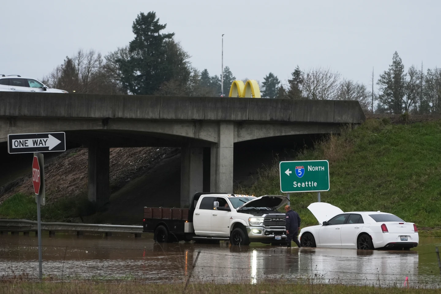
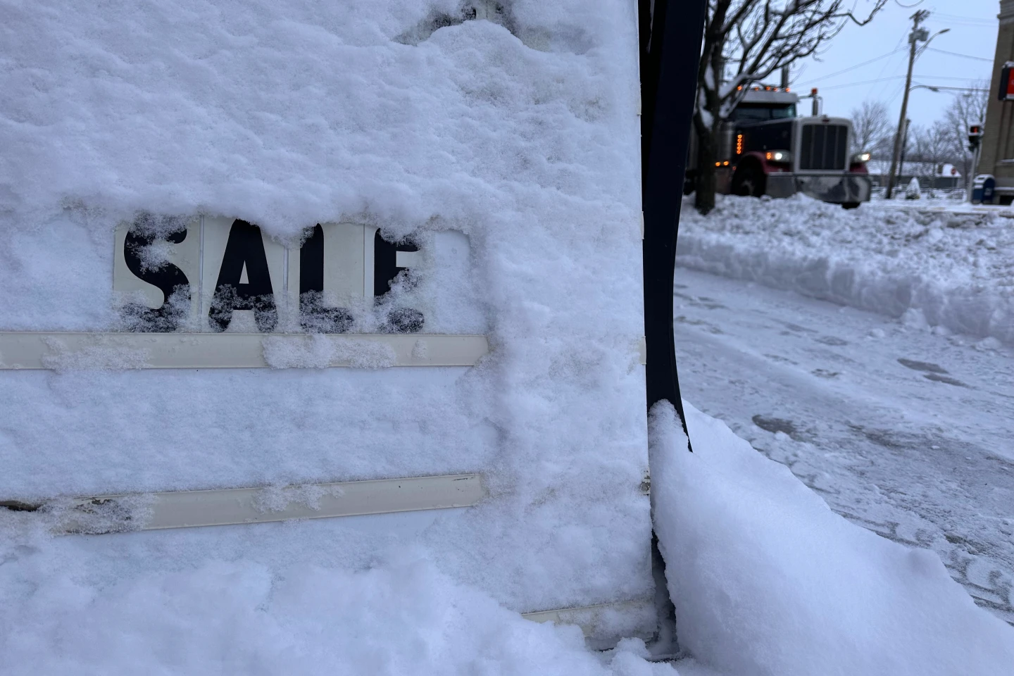
This storm follows thousands of flight delays and cancellations in the Northeast and Great Lakes regions earlier this weekend due to snow as travelers hit the roads and airports during the busy holiday season.
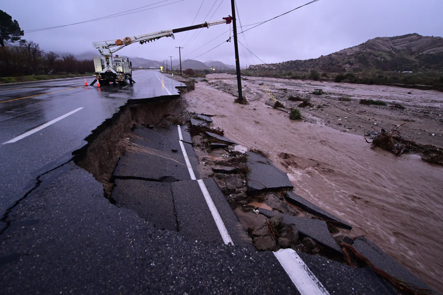
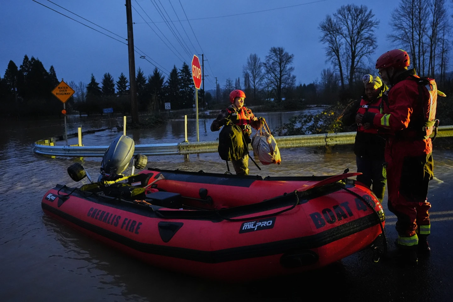
Meanwhile, California is experiencing a dry weekend after enduring powerful storms that brought heavy rains, flash flooding, and mudslides, resulting in at least four fatalities.