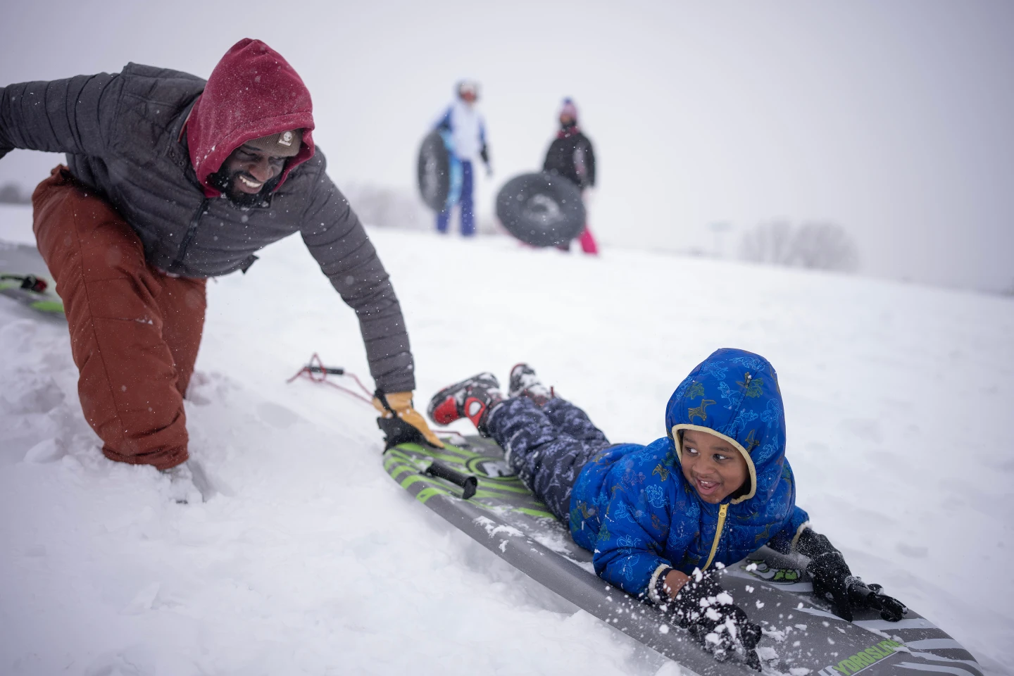
As Thanksgiving approaches, severe winter weather has already begun to impact travelers, with snow and cold temperatures across much of the northern United States. Major storm warnings have been issued from Montana to New York, with heavy snow forecasted to begin Friday and potentially last throughout the weekend.
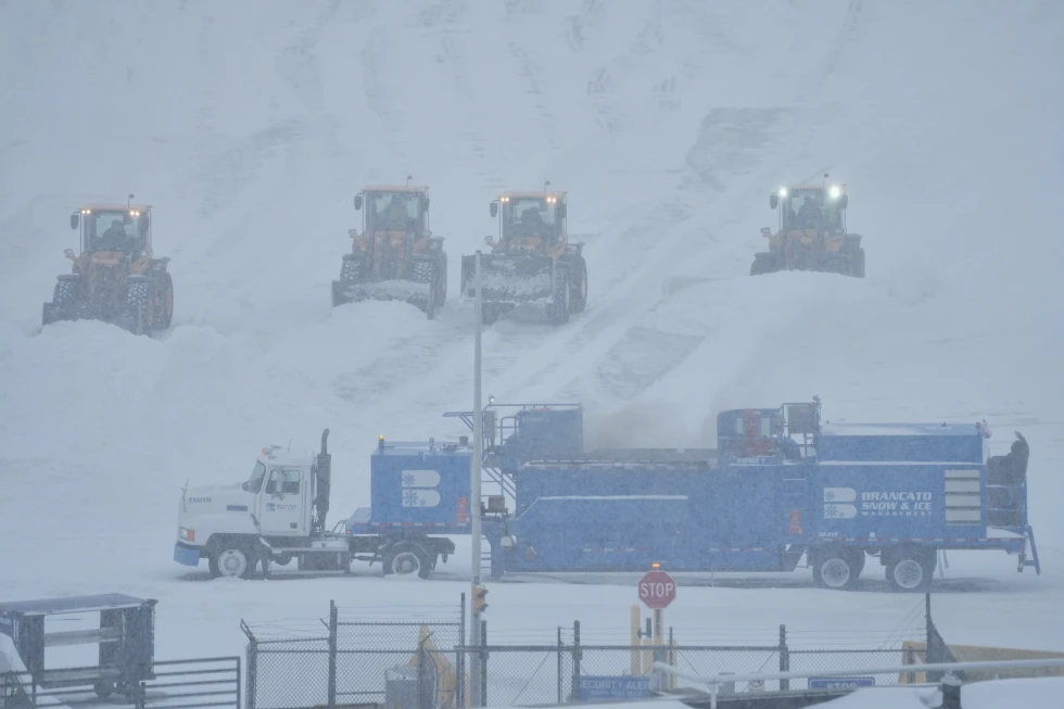
Areas particularly hard hit include Iowa and Illinois, where snowfall amounts are predicted to range from 6 inches to over a foot. West-central Illinois is expected to experience the most severe conditions, with snow continuing from Friday night into Saturday night.
The National Weather Service has indicated that conditions so far do not meet the criteria for a blizzard warning, which requires sustained winds of at least 35 mph and visibility of less than a quarter mile. However, these heavy snowfalls are expected to create hazardous driving conditions, particularly for those making holiday journeys.
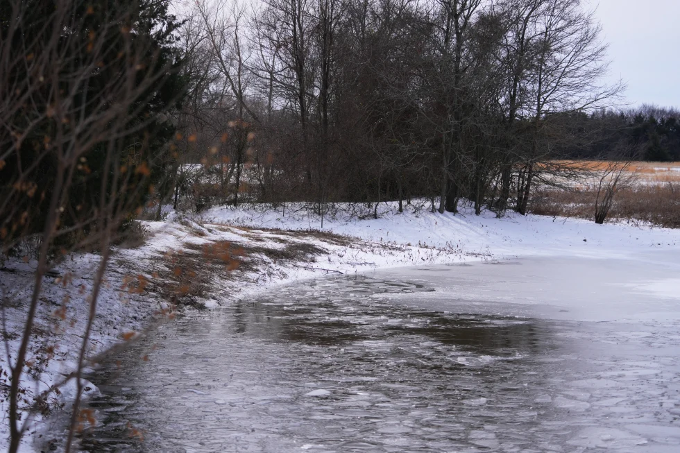
Furthermore, snow that has already affected parts of the northern Plains and Great Lakes region is expected to continue. Forecasts predict that by the end of this latest snow system, certain areas, specifically downwind of Lake Superior and throughout northern Michigan, may see totals exceeding a foot.
The Midwest isn’t the only region facing severe winter conditions; the Pacific Northwest and Rockies are expecting a mix of rain and snow, with snow starting to taper off by the end of the weekend. In the Southern U.S., significant storms may lead to flash flooding throughout the Gulf Coast.
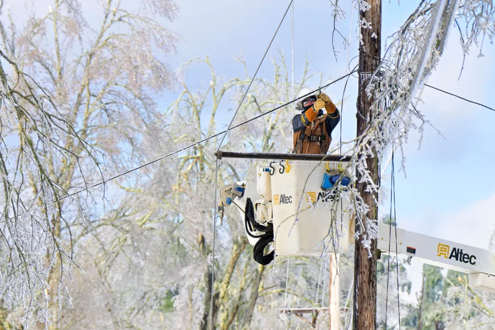
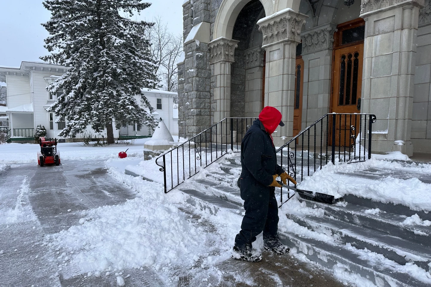
This dramatic drop in temperatures, accompanied by wintery precipitation, has led to numerous vehicle accidents in states like Michigan recently. With highs expected to remain in the 20s and 30s across the Midwest and lower temperatures in the Northeast, this holiday season is shaping up to be a tough one for travelers.