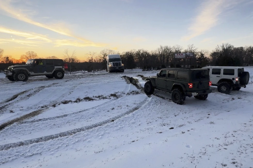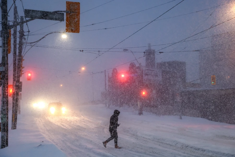
More than 160 million Americans are expected to face an unusually brutal winter storm starting Friday, with heavy snowfall and freezing rains forecasted.
The storm is anticipated to sweep through much of the United States, creating extremely dangerous conditions as it tracks eastward from the High Plains and Rockies, according to the National Weather Service (NWS).
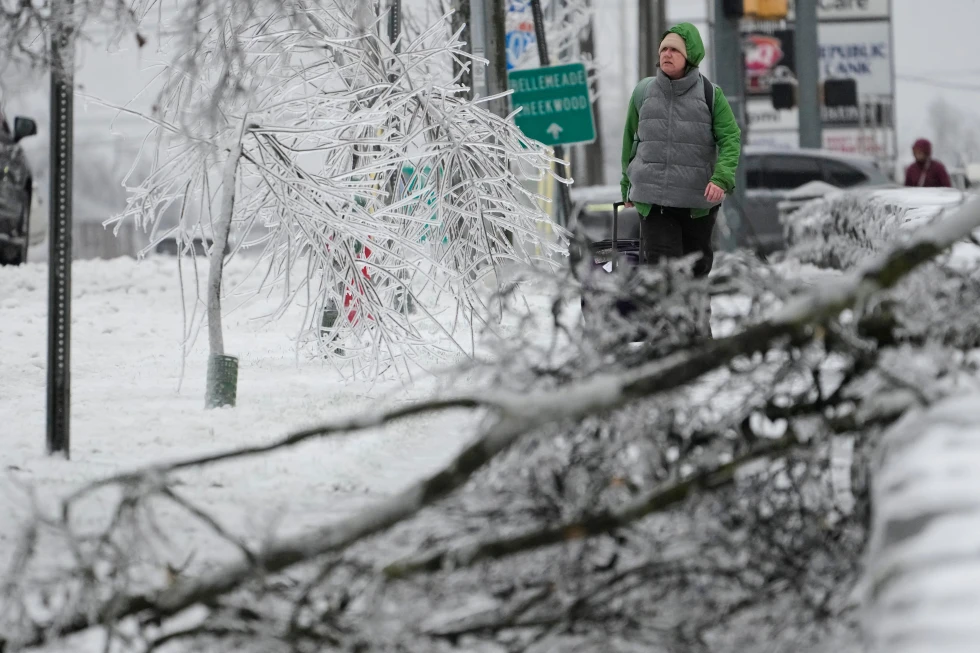
The NWS has warned that the Arctic blast will bring sub-zero temperatures and wind chills that pose life-threatening risks of hypothermia and frostbite to exposed skin.
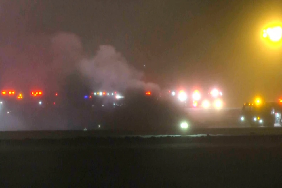
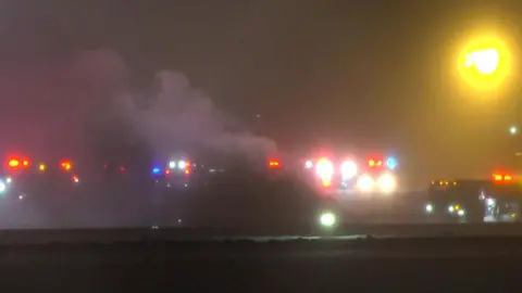
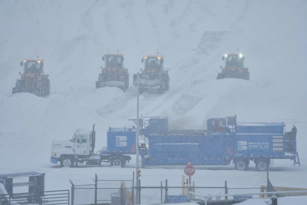
U.S. transportation officials, including airport authorities in several major cities, have reported potential weekend travel disruptions, including delays and cancellations.
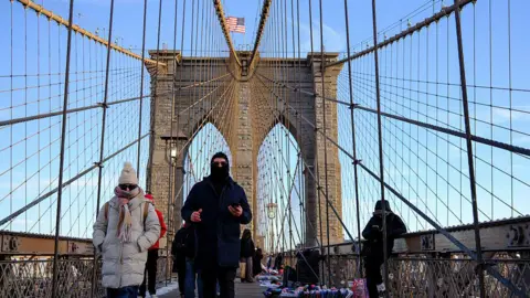
The storm is forecasted to move slowly across the U.S., blanketing cities such as Memphis, Nashville, Washington D.C., Baltimore, Philadelphia, and New York with snow.
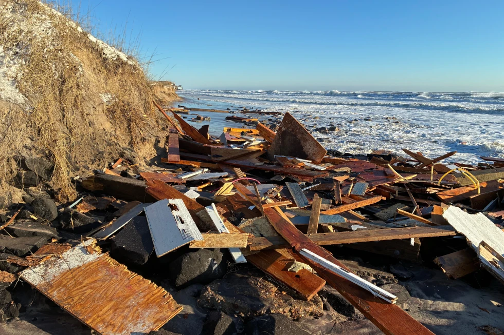
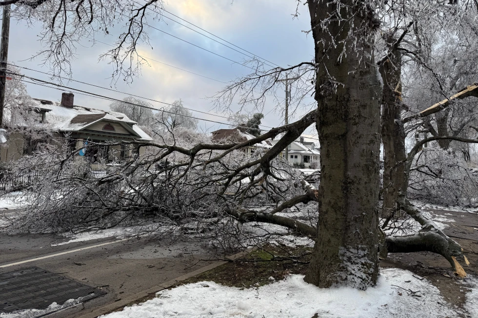
Heavy snow is projected across the Southern Rockies and Plains, reaching into the Mid-Atlantic and Northeast. The NWS indicates regions from Colorado to West Virginia and Boston may see over a foot of snow.
Numerous low-temperature records could be broken, with the coldest wind chills potentially dropping below -50°F (-46°C) across the Northern Plains. A wider area of the southeastern U.S. is also expected to encounter freezing temperatures.
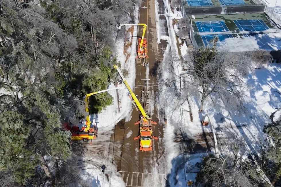
Governors in states such as Arkansas, Georgia, Texas, North Carolina, and South Carolina have declared states of emergency, enabling officials to begin mobilizing response efforts, including the National Guard.
Airlines are allowing passengers to change their flights, oftentimes without extra fees, in response to anticipated cancellations. Motorists are being advised to avoid driving over the weekend, with conditions expected to become nearly impossible during the peak of the storm, say NWS meteorologists.
In Canada, freezing temperatures have already gripped the country, with additional snowfall expected in eastern regions on Monday, according to meteorologist Geoff Coulson.