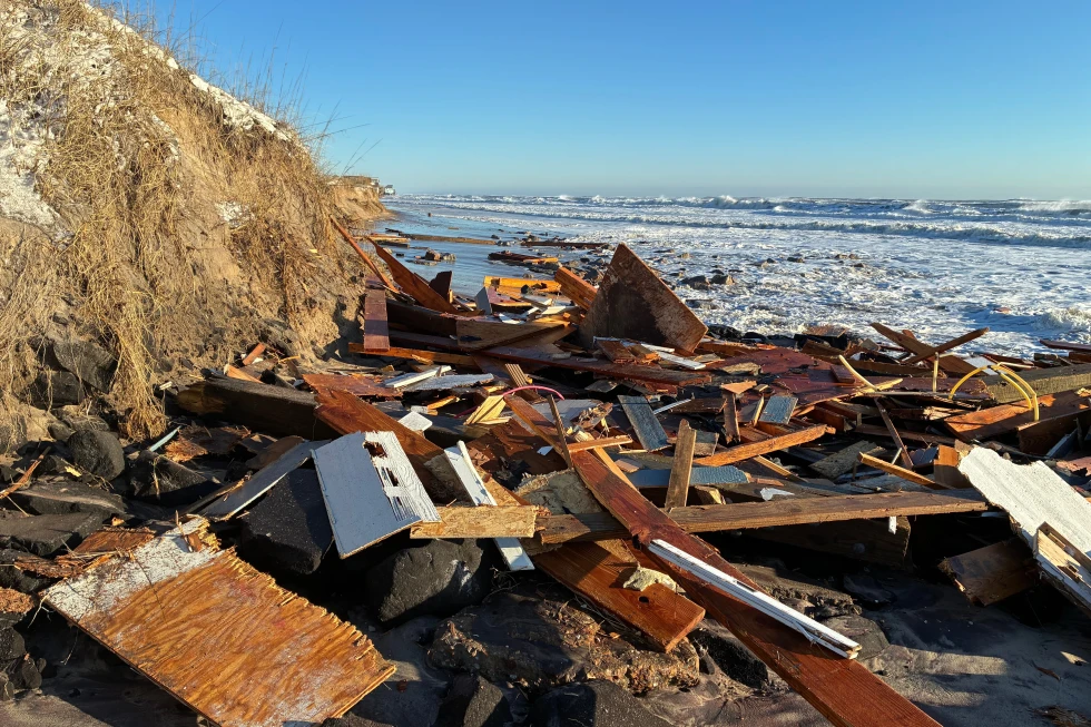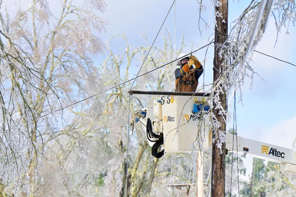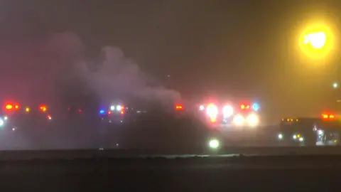
A wild winter storm was expected to bring strong winds, heavy snow, and frigid temperatures to the Great Lakes and Northeast on Tuesday, shortly after a bomb cyclone swept across the northern U.S. and left tens of thousands of customers without power.
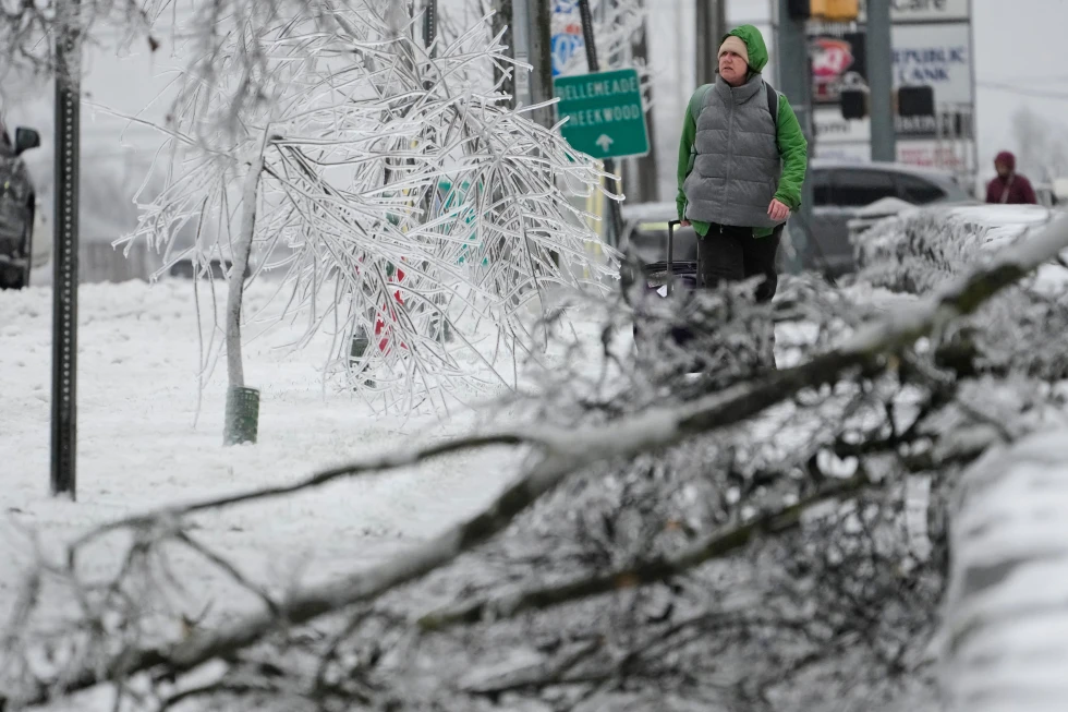
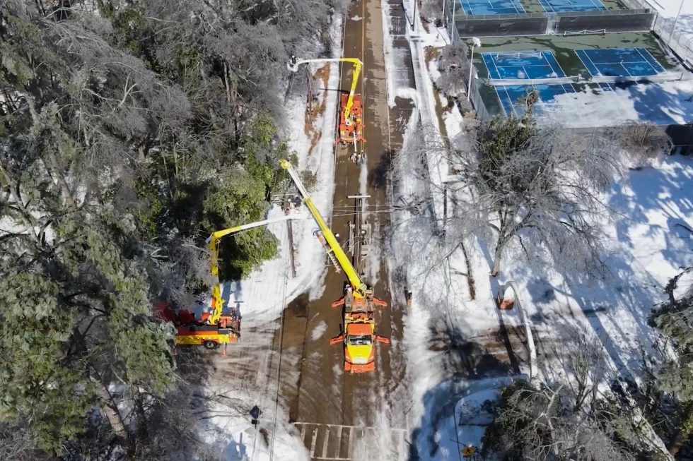
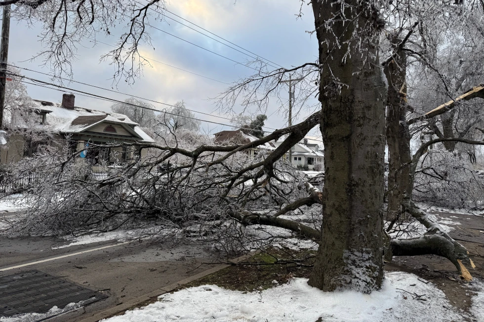
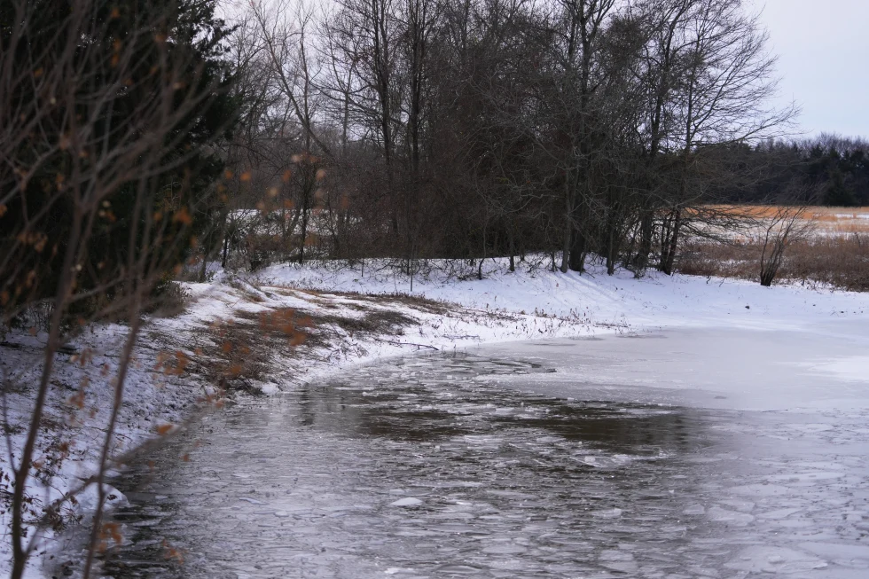
The storm that struck parts of the Plains and Great Lakes on Monday brought sharply colder air, strong winds, and a mix of snow, ice, and rain, leading to treacherous travel conditions. Forecasters identified it as a bomb cyclone due to its quick intensification as the pressure dropped.
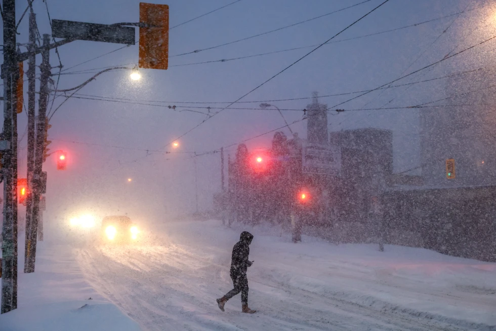
As of early Tuesday, over 153,000 customers nationwide were without power, with Michigan reporting the highest numbers. Governor Kathy Hochul warned of impending whiteout conditions in parts of New York, urging residents to avoid unnecessary travel.
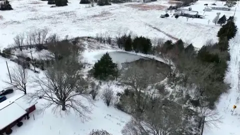
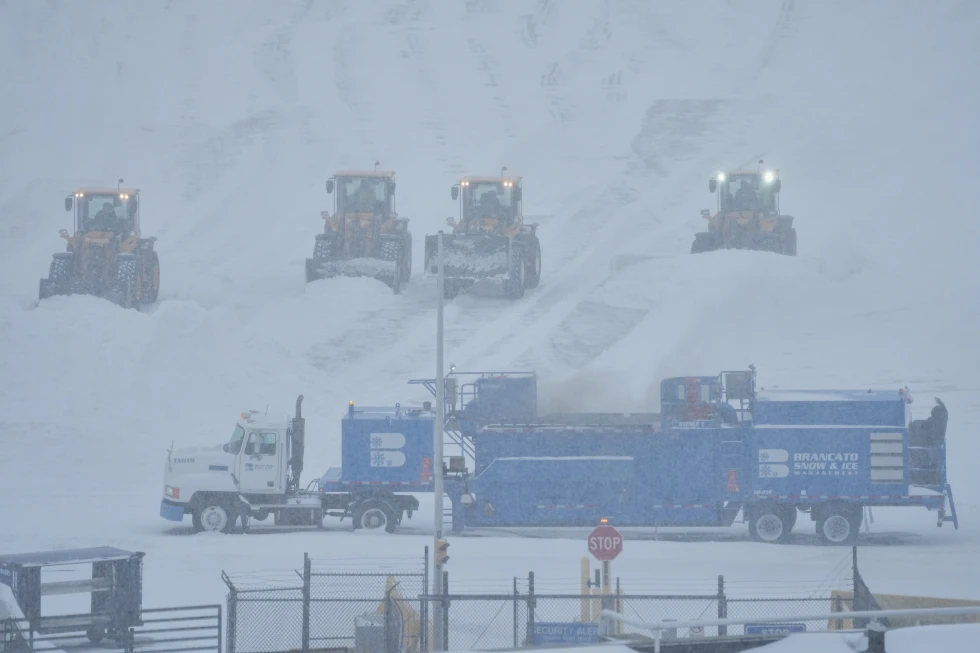
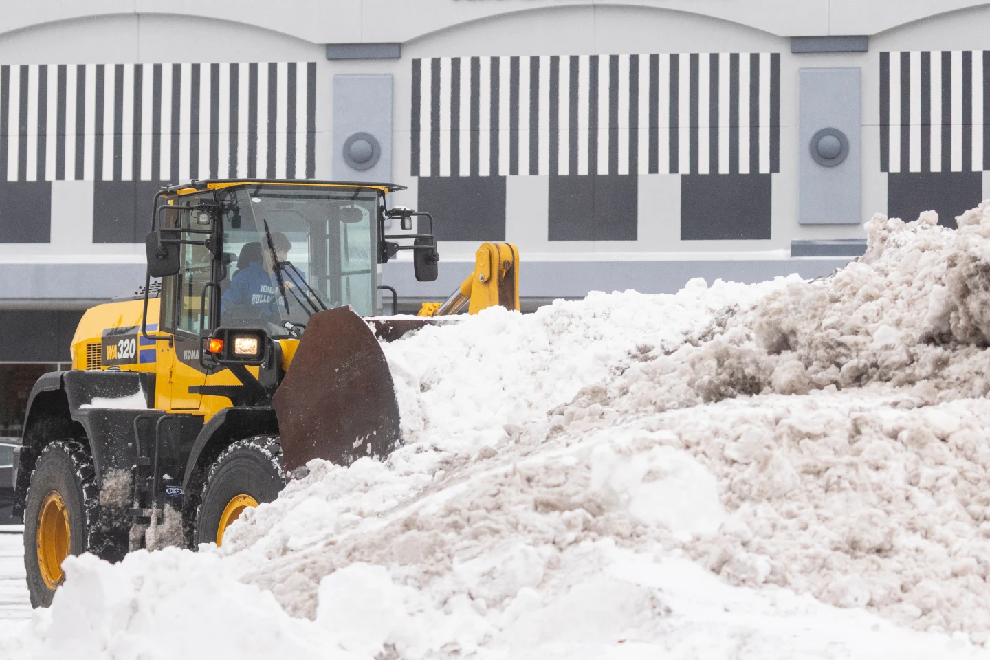
In Michigan’s Upper Peninsula, heavy snowfall quickly accumulated, with reports of up to 2 feet in some regions, although subsequent snowfall is expected to be lighter.
The storm prompted concerns for travelers, particularly in Iowa where high winds are blowing snow across roadways, closing more than 200 miles of Interstate 35. In North Dakota and Minnesota, wind chill temperatures plummeted to as low as minus 30°F.
On the West Coast, forecasters are concerned about the potential impact of Santa Ana winds in Southern California, exacerbated by recent storms. More storms are expected later this week, with the possibility of rain during the Rose Parade in Pasadena for the first time in two decades.