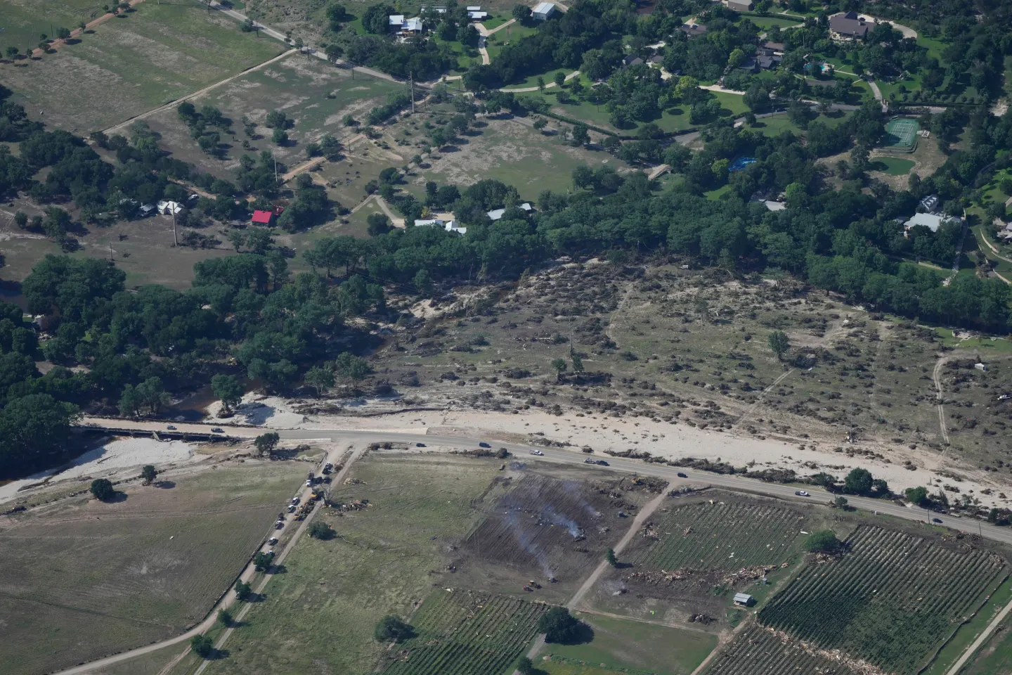
A series of powerful storms have struck the Pacific Northwest starting on Tuesday, unleashing heavy rain that caused rivers to swell and prompted high water rescues, according to authorities.
The National Weather Service’s Weather Prediction Center has issued forecasts for several days of continued rain in western Washington and northwestern Oregon. With the trans-Pacific jet stream driving this rain along the coast, over a foot of new snow is expected in the northern Rockies of northwestern Wyoming. Flood watches remain in effect, with regions along the coast and into the Cascades facing scattered flash flooding risks.
Fire crews successfully conducted rescue operations, saving two individuals trapped by floodwaters at a campsite in the Gold Bar area of Snohomish County, just north of Seattle. The rescue teams employed drones and water rescue crafts to assist those in peril.
The Snohomish County Department of Emergency Management issued a warning on Tuesday about rivers still under flood warning, indicating the Skykomish River had reached major flood status overnight. In a social media update, Gold Bar police mentioned that deputies were actively going door-to-door in the Moonlight Drive neighborhood to alert residents of imminent flooding.
Further complicating matters, the Washington State Department of Transportation closed the eastbound lanes of Interstate 90 at North Bend due to debris on the road from the severe weather conditions, although the roadway reopened Tuesday morning.
The National Weather Service in Seattle noted that an atmospheric river, characterized as a uniquely strong storm system, had shifted its position to the south but is anticipated to return northward later in the day. This impending shift is expected to bring a new wave of intense rainfall, amplifying the risk of significant flooding in local rivers.
Officials in Portland are alerting residents to the fact that the heaviest rainfall coincided with Tuesday morning's commute, raising the likelihood of vehicular accidents due to hydroplaning or encounters with standing water.
Meanwhile, another quick-moving storm is forecasted to sweep across the Upper Midwest on Tuesday, threatening wintry weather, such as freezing rain, high winds, and heavy snow.
A meteorologist for the National Weather Service in the Twin Cities described the weather event as particularly messy, indicating varied impacts depending on geographical location in the northern plains.
In North Dakota, conditions were marked by rain and freezing rain, leading to a no-travel advisory due to dangerous conditions on the roads, resulting in school closures or transitions to virtual learning for some districts.
Moreover, much of Montana and the Dakotas are under high wind warnings with gusts reaching up to 65 mph. Meteorologists predict that such winds could hinder travel and disturb unsecured objects, decorations, and residual snow.
The winter storm is expected to begin affecting evening commutes across Minnesota and northwest Wisconsin starting Tuesday afternoon, affecting travel into the night, with forecasters recommending extra travel time.