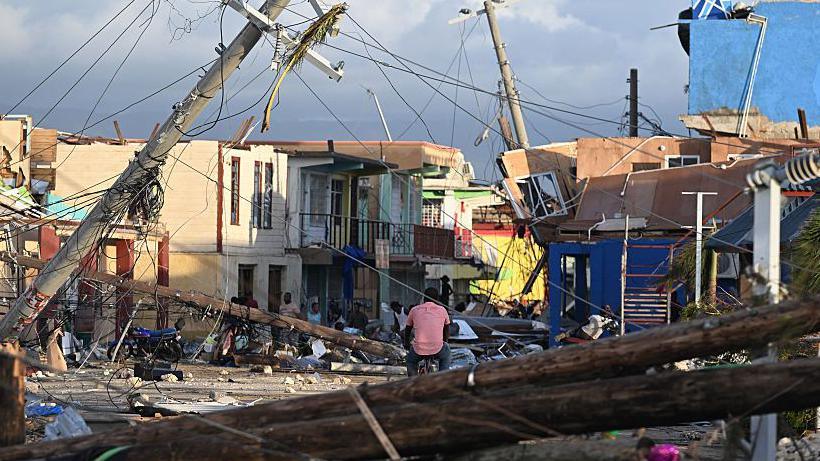
Hurricane Erin has dramatically intensified into a category five hurricane, boasting maximum sustained winds of 160 mph (260 km/h). Mike Brennan, Director of the National Hurricane Center, detailed the situation in a recent briefing, emphasizing that the hurricane had "explosively deepened and intensified" overnight, having transitioned from tropical storm strength earlier in the week. The storm is anticipated to pass north of the Leeward Islands, including the Virgin Islands and Puerto Rico this weekend, and is expected to bring between 4 to 6 inches (10 to 15 cm) of rain, increasing the risk of flash flooding and mudslides. Notably, Hurricane Erin marks the first storm of the busy 2025 Atlantic hurricane season and is not projected to make landfall in the continental United States.
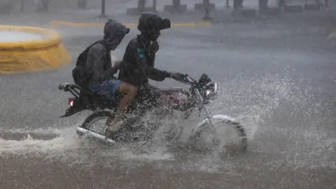
The rapid intensification of Erin was significant, with wind speeds surging from 100 mph on Saturday morning to 160 mph by the following hours. Predictions suggest that Erin will continue its northward trajectory next week, moving past the Bahamas and eventually approaching the Outer Banks of North Carolina. Mr. Brennan noted that the storm is likely to generate life-threatening surf and rip currents impacting nearly the "entire east coast" of the U.S. in the upcoming days, particularly threatening Florida and mid-Atlantic states with hazardous surf conditions. Additionally, Bermuda may also experience severe surf and heavy rainfall.
In response to the hazardous conditions posed by gale-force winds, the United States Coast Guard has imposed restrictions on vessels at ports in St. Thomas and St. John in the U.S. Virgin Islands, alongside those in six municipalities within Puerto Rico, including the capital, San Juan. The National Oceanic and Atmospheric Administration (NOAA), the federal agency responsible for weather forecasts, has indicated that this year's Atlantic hurricane season is expected to be "above normal," predicting an increase in the frequency of category four and five storms due to the impacts of global warming.