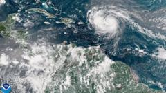
Hurricane Erin has undergone a rapid transformation, intensifying into a category five hurricane with maximum sustained winds recorded at 160mph (260km/h). According to Mike Brennan, Director of the National Hurricane Center, the storm has experienced an "explosive" deepening overnight, evolving from a tropical storm since Friday. As it continues its trajectory, Erin is set to pass north of the Leeward Islands, the Virgin Islands, and Puerto Rico this weekend, potentially bringing up to 6 inches (15 cm) of rainfall that could trigger flash floods and mudslides across the region. Although it marks the first hurricane of the 2025 Atlantic season, predictions indicate that Erin may not make landfall on the US mainland.
The storm displayed remarkable rapid intensification, an occurrence defined as a storm strengthening by a minimum of 34mph within a 24-hour window. Winds increased from 100mph in the early hours of Saturday morning, reaching an astonishing 160mph shortly thereafter. In the coming week, forecasts suggest that Hurricane Erin will move cautiously northward, passing east of the Bahamas and heading toward the Outer Banks of North Carolina.
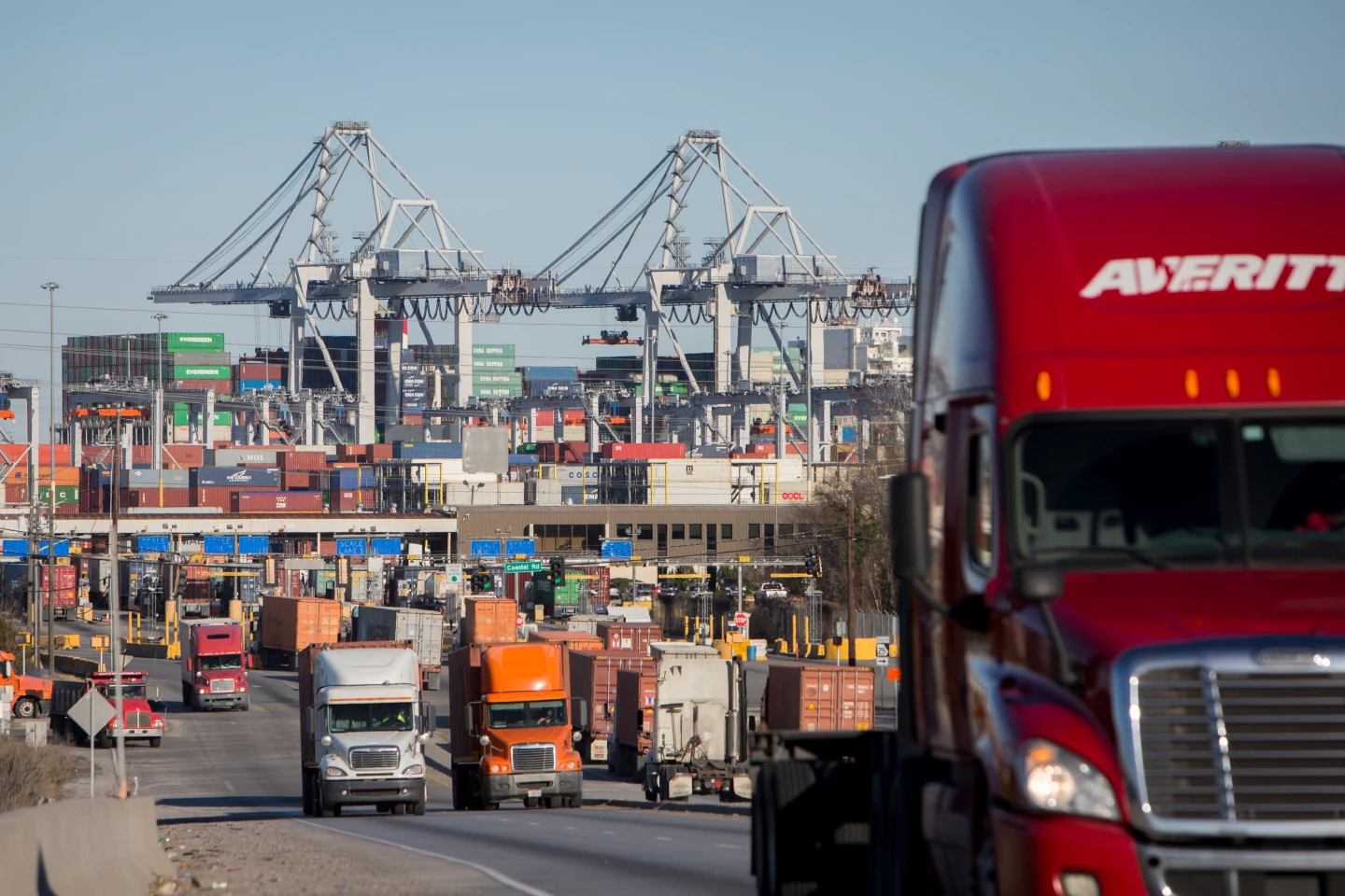
Dangerous surf and rip currents are anticipated along almost the entire east coast of the United States next week, particularly threatening Florida and mid-Atlantic states. Mr. Brennan cautioned that Bermuda could also face hazardous surf conditions accompanied by heavy rain. Due to gale force winds associated with Erin, the US Coast Guard has implemented vessel restrictions at ports in the US Virgin Islands and six municipalities in Puerto Rico, including San Juan. The National Oceanic and Atmospheric Administration (NOAA) has projected an "above normal" Atlantic hurricane season this year, attributing an anticipated rise in category four and five storms to global warming.

